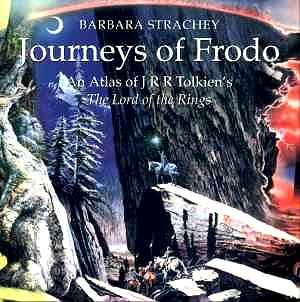
Journeys of Frodo - An atlas of J.R.R. Tolkienís The Lord of the Rings by Barbara Strachey. Paperback (medium landscape format) 50 maps, 112 pages (approx) ISBN 0-261-10267-2 £8:99

As Peter Jacksonís film of the first book of The Lord of the Rings, The Fellowship of the Rings continues to ring box office tills, so too does the book continue to sell well. Harper Collins are having to reprint their hardback illustrated edition and I hope to review this magnificent edition shortly on this site.
In the meantime keener readers and Tolkien fans will no doubt be drawn to this remarkable piece of useful Middle Earth/Hobbit scholarship. With admirable perspicacity Barabara Strachey, who is not a cartographer, has by virtue of meticulous study of the texts of all three books and logic calculations using clues like Tolkienís references to full, waning and waxing moons, compiled an atlas of some 50 maps in chronological order starting from Frodoís departure from Hobbiton on 23rd September. Each map is reproduced in 2 colours: a red line tracing the route of the Hobbits and on later maps other characters such as Gandalf, Aragorn, Gimli and Legolas. Roads, rivers, marshes, woods forests and mountains (in contour lines to indicate heights) are all marked. Every thing is based on the detailed descriptions and maps in the original books.
The only thing missing is Tolkienís collection of maps that are reproduced in The Lord of the Rings. One can argue that these are already in the books but how much more handy they would be if they were separate so that one does not have to interrupt oneís reading and concentration to hunt for them. Nevertheless a most valuable aid to a deeper appreciation of Tolkienís masterpiece.
Ian Lace

Return to Index