 |
Page
24
|
 |
|
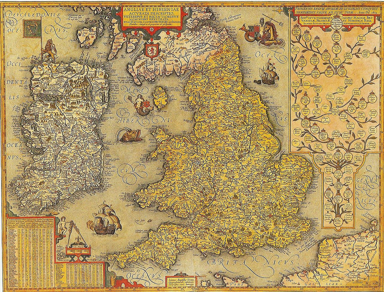
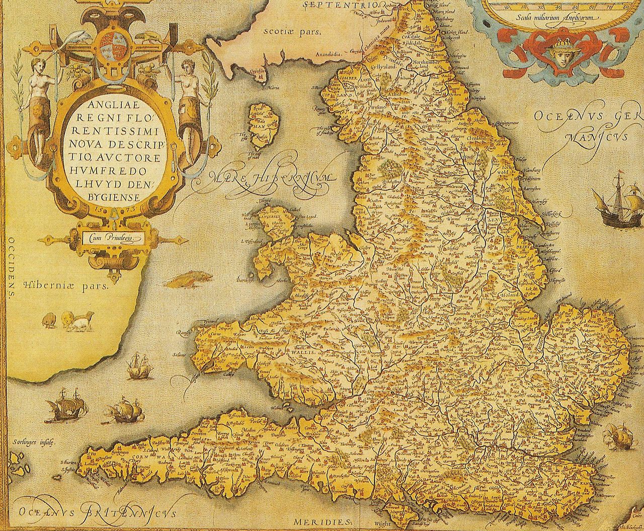
From 1573 onwards the Ortelius atlas contained maps of England and Wales and of Wales alone by the Welsh historian and topographer Humphrey Lhuyd. . In 1603 this was replaced a map of Christoper Saxton which only lasted one edition to be replaced by one from Jan Baptist Vrient who included Ireland and a genealogical table of the Royal family. I assume this is the map in the Charlecote copy but I show the Lhuyd and Vrient maps below. Anglia Regni by Humphrey Lhuyd (1573)
The Charlecote 1606 copy contains the follwing version:
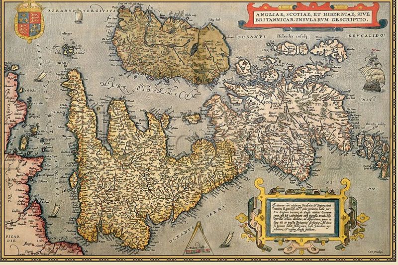
However the Charlecote 1570 copy has a different map across two pages showing the UK sideways on. I have not discovered who engraved that
|