 |
Page
21
|
 |
|
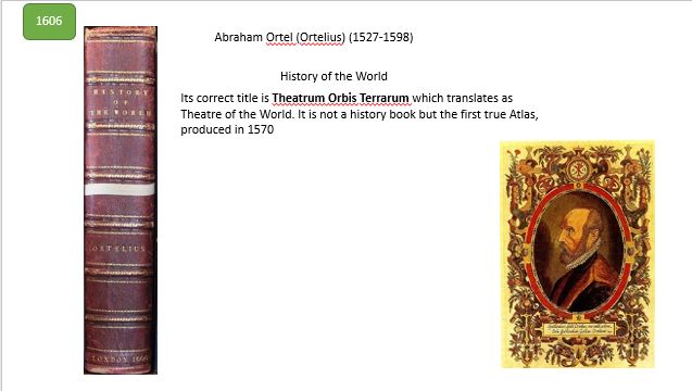
1 of 5 Ortelius History
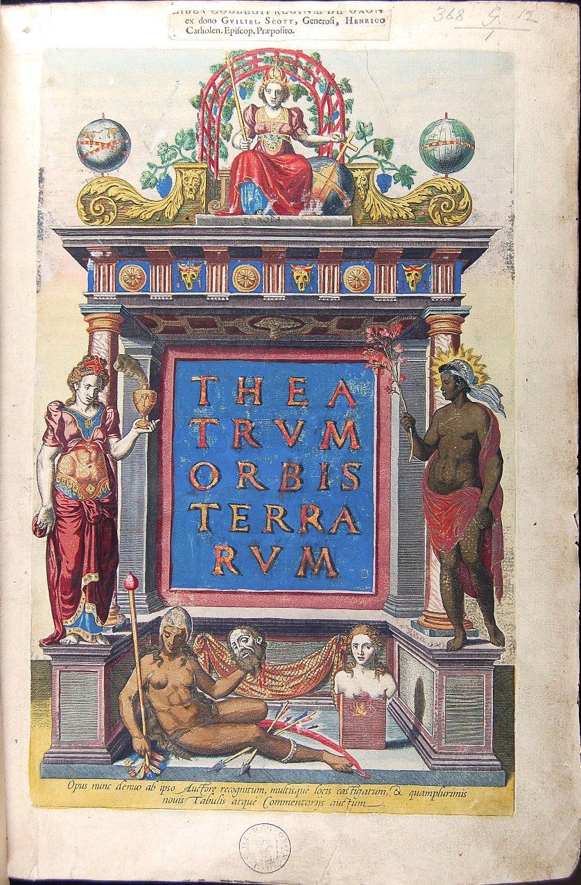
of the World The book has a highly decorated and finely detailed
title page [colophon]
The two female figures either side of the arch represent Asia and Africa with Europe seated at the top. At the bottom is a recumbent figure holding up a decapitated head with her bow and poisoned arrows. This is Ortelius' idea of the New World! Next to her is a female bust on a pedestal above a flame which represents the Southern tip of South America, Magellanica, which was not fully charted but many fires had been sighted (hence Tierra del Fuego).
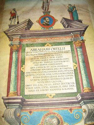 The
1606 version has a dedication to Ortelius which translates as : The
1606 version has a dedication to Ortelius which translates as :You see here the monument of Abraham Ortelius whom the city of cities, Antwerp, brought forth. The King of Kings, Philip, had him as geographer. For a short time the earth held him who himself held the globe of lands. With his pen and writing tablets he illustrated it, yet he held it cheaply, he who surveyed the heavens and the heights, unmoved by hope or fear. He was a lover of friendship, carried out his duties with radiant good faith; he was also a lover of privacy, shunning disputation, marriage and crowds. He led his life as if he were dedicated elsewhere (i.e. to God). Reader, pray that he may have rest now and evermore. He died on the fourth day before the kalends of July in the year (June 28) 1598. (Roman reckoning included the kalends as day 1). He lived 71 years, 2 months and 18 days. (This monument) dedicated by his sister's sons to BM Poss. (Beata Maria Possente? The powerful blessed Mary, though BMV is the more usual abbreviation for Mary) (with thanks to Brian Wilson for the translation)
Ortelius had two sisters and together they worked as map colourists. He did not produce any maps of his own until in his mid-thirties by which time he was much travelled and had made connections with other historians, topographers and cartographers who, when the time came, assisted him in compiling the Theatrum.
|